


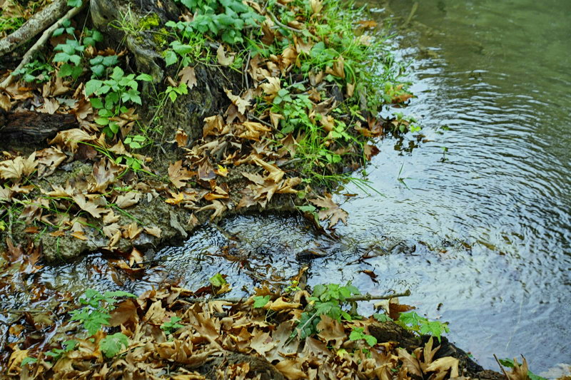


Anavryka are dozens of gushing springs (anavlyzo means gush) that extend at a distance of 400m that join and create a vehement stream that disembogues in Aliakmonas River. They are surrounded by a dense plane tree, small rills, reflections, shadows, crystal sounds and majestic colors that create a beautiful scenery.
The plane forest of Anavryka is a continuation of the plane forest of Rymnio. It is located 2,5-4,5km south of it and on the right side of the road from the Rymnio Bridge to Zidani. It comprises a lakeside section of the magnificent wetland that begins from the Rymnio Bridge and extends up to Ilarionas Dam.
It begins from the Pyrenees Mountains and comes to Greece through ex Yugoslavia. The greek section of E4, crosses northern and central Greece and Peloponnese, goes down to Gythio and continues to the island of Crete. Thus, it offers to hikers or climbers the possibility to meet the rich variety of greek sceneries and the wealth of greek nature. The highest altitude of the route is Olympus’ peak Skolio (2911m). The ideal period for one to walk E4 is from the 15th of May until the beginning of October. The climate is Mediterranean and in the summer it is very dry and the temperature of the days is very different of that of the nights. One can find snow along the route during the period from November to June.
The E4 Path passes from the Municipality’s Servia-Velvento area. It crosses the Pieria Mountains and continues on to Olympus Mountain. The E4 passes from Katafygi village and reaches the mountainous shelter of Kozani’s Club of Greek Mountaineers (SEO). Then it moves to Avdela Spring and goes on to the District of Katerini.

